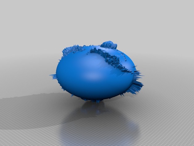
The Earth Globe 360x is flooded with oceans 360 meters deeper than yesteryear. The Earth is an Oblate Spheroid in this sculpture based on the ETOPO2 database. The Ice Caps were left intact, to accurately illustrate the volume of ice versus the volume of mountains. It is an accurate analog based on digital elevation models. This 3D model has 6 Megabytes of data for 120,000 triangles. The Amazon Basin is under water, The Mississippi Valley is submerged. And worse...The oblateness uses 0.64 as the factor which multiplies the globe z axis values. ETOPO2 Notes: Land topography is from the GLOBE Project, an internationally designed, developed, and independently peer-reviewed global digital elevation model (DEM), at a latitude-longitude grid spacing of 30 arc-seconds (30"). The GLOBE Task Team was established by the Committee on Earth Observation Satellites (CEOS). It is part of Focus I of the International Geosphere-Biosphere Programme - Data and Information System. Primary contributors to the GLOBE database are: (Click here for more details online.) National Imagery and Mapping Agency (formerly Defense Mapping Agency), Fairfax, Virginia, USA Geographical Survey Institute, Tsukuba, Japan Australian Surveying and Land Information Group, Canberra, ACT, Australia Jet Propulsion Laboratory, Pasadena, California, USA University College London, UK DLR-German Remote Sensing Data Center, Oberpfaffenhofen, Germany NOAA National Geophysical Data Center, Boulder, Colorado, USA USGS EROS Data Center, Sioux Falls, South Dakota, USA Data Base Assembly The five major data sources were assembled into the single ETOPO2 2-minute data base without formal edge matching or other methods that alter the data as initially posted. Higher-resolution data take precedence: data derived from GLOBE mask all other data, Smith/Sandwell data come next, followed by IBCAO, with the 5-minute data filling any gaps. Five-minute data from DBDBV and ETOPO5 and 30-second data from GLOBE were regridded to 2 minute spacing by bicubic spline interpolation. IBCAO data were originally gridded in a polar stereographic projection; these data were interpolated along lines of constant latitude at 2 minute steps for every 2 minutes of latitude from 72° North to the pole.
- 0 inches x 0 inches x 0 inches
- this product is 3D printed
- 16 available colors
- material is a strong plastic
- free delivery by May 07
- 0 parts