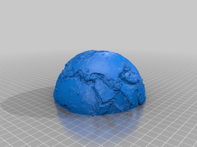
Here is a relief globe that includes the sea bottom. It was created using the program "globe" by DJ Moews available under the GNU GENERAL PUBLIC LICENSE. Globe can be downloaded from http://djm.cc/dmoews.html. The data is derived from the Scripps SRTM30_PLUS V8.0 data set which is copyright but can be used for non-commercial purposes - see srtm30plus_copyright.txt for the license. The derived data set, srtm30plus, the input to globe, is at http://djm.cc/dmoews.html. Two stl files are provided: n_hemisphere.stl and s_hemisphere.stl When printed and joined together the two files produce a globe about 5 inches in diameter. The red version in the image above was scaled by 0.8. The input command for globe was: globe --map altitude data/srtm30plus 5400 2700 sbigendiandibyte --gridpoints 512 --map-scale 60 --cut-plane 0 0 1 --explode 1000000 >bigz.stl. The two pieces of the globe were separated, centered, and scaled to give n_hemisphere.stl and s_hemisphere.stl. On my Replicator I used two shells and 2% infill and printed the files directly on the build platform. This minimizes warping and the two halves join at the equator with a nearly invisible seam. Program globe can output the globe in multiple pieces and a 6 inch globe was constructed using 4 pieces. It was not fully successful because of ABS warping at the thin edges. If planes 1 0 0 and 0 1 0 are used for cutting warping imperfections are collected at the poles. A 6 inch globe takes over 20 hours to print.